Follow Us

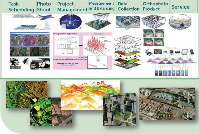
True Orthophoto and Geospatial Data Production
True Orthophoto and Geospatial Data Production
Tendered by Turkish Natural Catastrophe Insurance Pool (DASK) and conducted by General Directorate of Geographic Information Systems (CBSGM), the first flight within the scope of “True Orthophoto and Geographic Data Production Work” was made with the kick-off meeting held at the Esenboğa Airport in participation of Minister and Undersecretary of Environment & Urbanisation (ÇŞB) in July 2014.
Purpose and Scope of the Project
On approximately 40.000 km² area within the scope of this project which covers settlement and development areas of the cities
Production of High Resolution Orthophoto
Production of Vector Based Roads and Buildings
Data Harmonisation with Information Systems In Coastal Areas
Social, Cultural, Industry & Tourism Areas
Provinces, District and Major Towns
NOTE: Since similar studies have already been made by the municipalities of İstanbul, Bursa and Konya by their own means; in order to avoid duplication, these cities are excluded from the scope of this study. Project outputs will be also be integrated with other spatial information systems.
Study Areas within the scope of “True Orthophoto” Project
In addition to its feature that it is the very first project in Turkey regarding its scope, cost, time and technology; it will be one of the few projects in the world.
Base image map will be generated for all institutions that perform geographic data production.
1/1000 scaled true orthophoto production will be performed.
Current building inventory in urban areas will be determined.
Resulting Products and Maps
In the implementation phase of high technology, with the collaborative project works that will be performed by the universities and industry carrying out R&D activities, knowledge and capacity building of our ministry and our country will be carried out.
Generated by using advanced technological equipment and most up-to-date production techniques; will be served free of charge to all governmental institutions and municipalities.
Will bring efficiency and speed to studies such as spatial planning, urban regeneration, municipal services, illegal building monitoring, decision making, disaster planning, emergency management.
Will shorten the periods of environmental projects, application projects, planning works besides it will also reduce the costs of municipalities up to %70 which are unable to provide enough financial resources for similar projects.
Damage assessment can be made as soon as possible after natural disasters, coordination studies can be carried out with the aim of arranging the necessary organization for the timely intervention